places Categories: Attractions and Mountainsplaces Tags: Mountain peaks in Pakistan
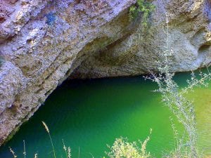
Sakesar, is the highest mountain in the Salt Range in Pothohar in Pakistan. Its height is 1,522m. It lies on the outer fringes of the Soon Valley in Khushab District in the Punjab Province. Uchhali Lake is just below it.
No Records Found
Sorry, no records were found. Please adjust your search criteria and try again.
Google Map Not Loaded
Sorry, unable to load Google Maps API.
-
- Sakesar, Pakistan
Pakistan
Pakistan
Pakistan -
FeaturedThe Thui I (other names: Karol Zom and Chatir Zom ) is the second highest mountain in the Hinduraj range . Thui I is located on the main ridge of northern Hinduraj on the district boundary of Chitral and Ghizer . The mountain reaches an altitude of 6662 m . The eastern Kotalkash glacier separates Thui I from Koyo Zom , the highest mountain in the Hinduraj. Another glacier is located on its western flank. Both glaciers flow north to Yarkhun . On the southern flank of Thui Read more...
-
FeaturedThe Buni Zom group is a prominent mountain area of Chitral, in the Hindu Raj range of Pakistan. Buni Zom (main) is the highest peak of the group with an elevation of 6,542 m (21,463 ft). It is located about 50 km (30 mi) northeast of the town of Chitral, and about 50 km (30 mi) east of Tirich Mir (7,708 m), the highest peak in the Hindu Kush. Map of Buni Zom In 1957, the Read more...
-
Shayaz is a mountain in the Hindu Kush mountain range of Asia. Located in Khyber Pakhtunkhwa, Pakistan, it has a summit elevation of 6,026 m above sea level Rank Summit Name Region Country Elevation (m.) Prominence (m.) Saddle (m.) Latitude Longitude ID Code Elev. (ft.) Prom. (ft.) 9 Shayaz Hindu Kush Pakistan 6026 1797 4229 36º38’54″N 072º49’42″E AS315 19770 5896 Prominence Clean Prominence: Read more...
-
Margalla Hills National Park, is located in the foothills of the Himalayan range. The topography is rugged, with numerous valleys and many steep and even precipitous slopes. The area is drained by the River Kurang and its tributaries, which flow into the River Soan. This park is the most accessible park in Pakistan due to its close proximity to the Read more...
-
Our location guide for Pabbi provides some basic essentials for the more adventurous visitor. A simple location map is provided but also a detailed topography map that shows the location of the nearest places where you can surf, ski or mountain climb (if they are close by). Of course some of these will be at long distances from Pabbi and those Read more...
-