places Categories: Attractions and Valleys
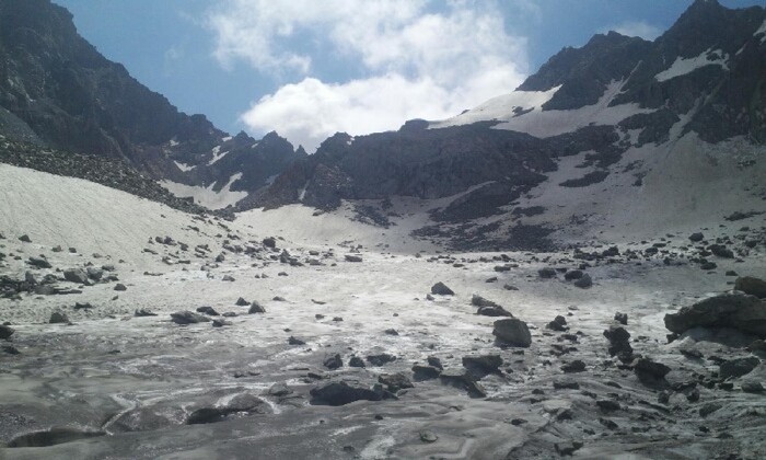
No Records Found
Sorry, no records were found. Please adjust your search criteria and try again.
Google Map Not Loaded
Sorry, unable to load Google Maps API.
-
- Khanko Dhand, Swat, Khyber Pakhtunkhwa
Swat
Khyber Pakhtunkhwa
Pakistan -
Map driving distance from Swat to Mankial Sar is 83 Km … Swat to Khyber Pakhtunkhwa, Pakistan Travel Time from Swat to Khyber Pakhtunkhwa, Pakistan Swat … Read more...
-
The beautiful valley of Kalam is situated in the upper northern portion of Swat valley in Khyber Pakhtunkhwa. Kalam is located at an altitude of 2000 meter. The valley of Kalam is filled up with natural beauty. Beautiful and eye-catching views are spread all over the valley of Kalam. Beautiful Kalam valley is just 99KM away from Mingora. Sawat river Read more...
-
Shetāngud Dhand is a lake and is located in North-West Frontier Province, Pakistan. The estimate terrain elevation above seal level is 4066 metres. Variant forms of spelling for Shetāngud Dhand Read more...
-
Chansar Lake is a mountainous lake located at the northern end of the Dubair Ranolia, near the town of Dubair Kohistan. It is in the north east of Kohistan District in the Khyber-Pakhtunkhwa province, Pakistan. it is amongst one of the highest lakes in Kohistan. There is also a similar named fictional story associated with the lake. The weather here Read more...
-
Falak Sar also known as Falak Sair) is the highest mountain peak in Ushu Valley of Swat, Pakistan at an elevation of 5,918 metres (19,416 ft), it is considered the highest peak of the Swat district in the Hindu Kush mountains range, followed by Mankial mountain peak. This mountain was climbed for the first time by W.K.A Berry and C.H. Tyndale-Biscoe Read more...
-